Kamaraj Sagar Dam, Ooty

Kamaraj Sagar Dam, better known locally as Sandynallah Reservoir, sits on the misty slopes of the Nilgiris about 10 km from Ooty. It covers roughly 400 acres of pine forest, shola patches and open grassland. The reservoir supplies drinking water to Ooty and the villages around it, and it lies within the Nilgiri Biosphere Reserve. Photographers, bird watchers and film crews have been coming here for decades.

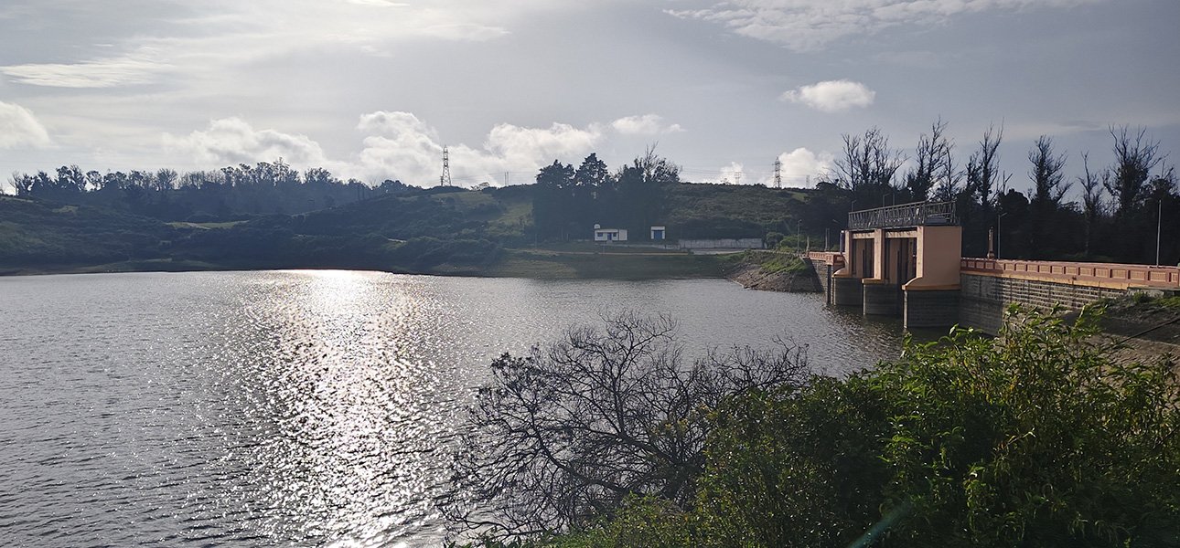
Scenic view of Kamaraj Sagar Dam and its surrounding hills in Ooty

What the Dam Is and Why It Matters

The dam was built across the Sandynallah stream and holds about 26.6 million cubic metres of water. Rain collected in the catchment feeds Ooty’s taps and also supports some irrigation in the district. It lies against the Wenlock Downs, and that setting gives the area its cool mornings, still water and thick mist. The land around the reservoir works as a corridor for native plants and animals.

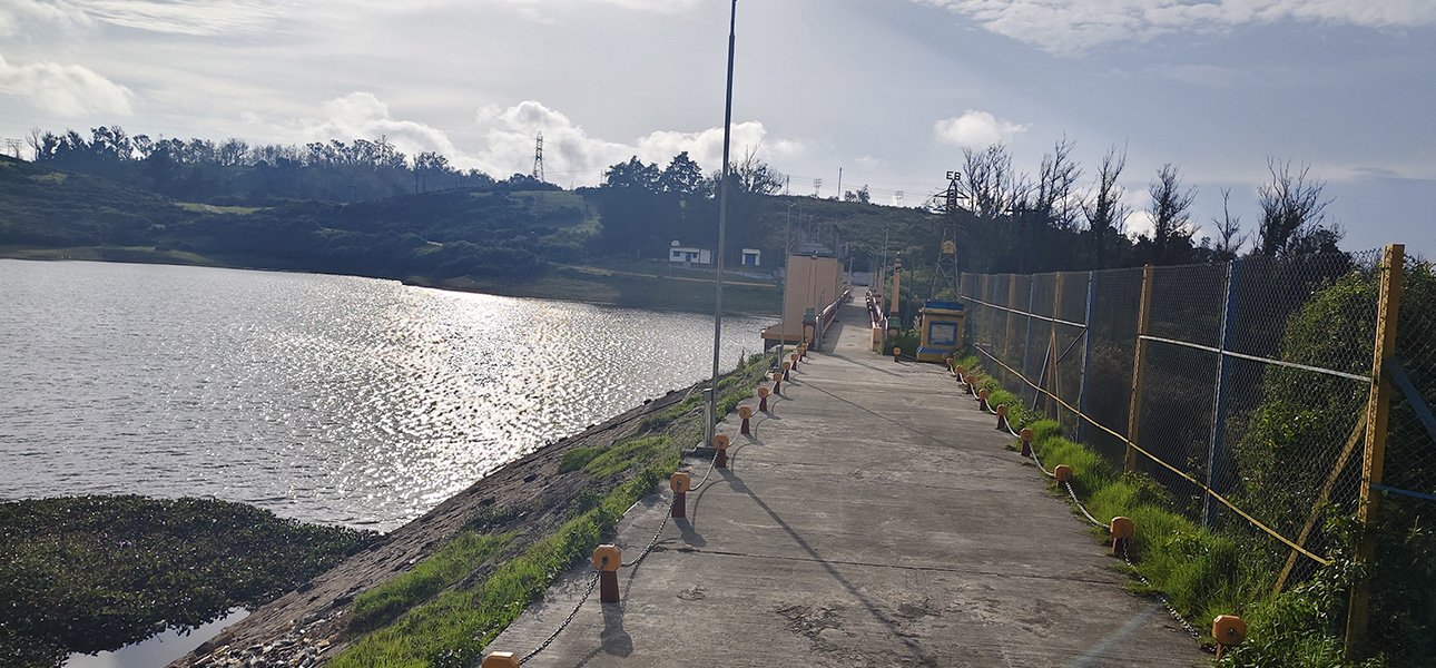
Walking pathway along the water at Kamaraj Sagar Dam in Ooty

Quick Facts

  • Also known as: Sandynallah Reservoir
  • Location: 10 km from Ooty Bus Stand, on the road to Pykara
  • Area: About 400 acres
  • Storage capacity: 26.6 million cubic metres (0.94 TMC ft)
  • Water source: Rainwater catchment and stream inflow
  • Timings: 9:00 AM to 6:00 PM, daily
  • Entry: Free

Nature Around the Reservoir

The clear water has long been used for coarse fishing and trout breeding studies. On land, three things stand out:

  • Pine and shola cover: Evergreen pines line the banks and hold the soil in place.
  • Birdlife: Kingfishers, herons, pelicans, painted storks and hill birds feed along the shallow edges, both resident and migratory.
  • Montane plants: Grasses, shrubs and other highland species cover the catchment and give the slopes their deep green colour.

Why Film Crews Keep Returning

Still water, hills in the background and tall pines make this one of the most photographed spots in South India. A few reasons it works so well on camera:

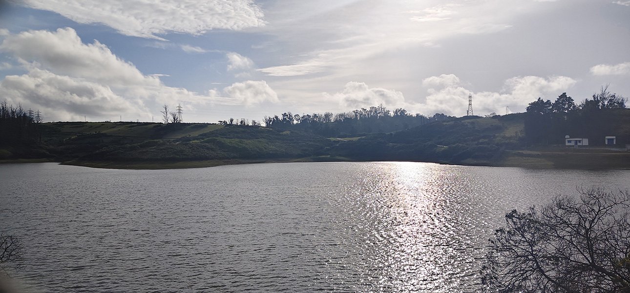
Scenic view of Kamaraj Sagar Dam lake surrounded by green hills in Ooty.
  • Dense fog settles over the water at dawn, giving natural, moody light.
  • Very little commercial construction crowds the shoreline, so wide shots stay clean.
  • Woodland, open water and sloping pasture are all within a short walk of each other.

Many Indian films, regional TV shows and music videos have used the banks to stand in for alpine scenery.

Things to Do

Photography

Hills reflect in the flat water, and sunrise and late afternoon give the best compositions.

Bird Watching and Field Study

Plenty of fish means plenty of hunting birds. Students and naturalists also use the shoreline to study high-altitude wetlands.

Walks

Trails run over pine-covered knolls and along the water’s edge, with little impact on the land.

Quiet Picnics

Grassy patches under the pines suit families who want a calm day out in cool air, as long as nothing is left behind.

Getting There

The dam is about 10 km northwest of Ooty town on the Ooty–Pykara road (NH 181).

  • By road: Buses on the Ooty–Pykara route stop near the turnoff. Taxis, private cars and rented two-wheelers can reach the site easily on paved mountain roads.
  • By rail: The nearest station is Udhagamandalam (Ooty), the end of the Nilgiri Mountain Railway. Broad-gauge trains stop at Mettupalayam (47 km) and Coimbatore Junction (89 km).
  • By air: Coimbatore International Airport (CJB) is about 97 km away, followed by a drive up the ghat road.

Best Time to Visit

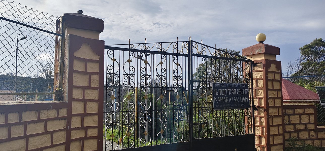
Entrance gate of Kamaraj Sagar Dam in Ooty

Winter

  • Months: November – February
  • Weather: Cold, 5°C to 18°C, heavy morning mist
  • What stands out: Migratory birds, best photography

Summer

  • Months: March – June
  • Weather: Pleasant, 12°C to 25°C, clear skies
  • What stands out: Walks and easy day trips

Monsoon

  • Months: July – October
  • Weather: Heavy rain, lush greenery, rising water
  • What stands out: Full reservoir views; slippery trails

Winter gives the most striking scenery, with mist over the water and frost on the pines.

Nearby Places

A day along the Pykara route can combine several stops:

  • Wenlock Downs: Rolling meadows next to the reservoir with wide views of the Nilgiris.
  • Pine Forest (Shoot Point): Tall pines sloping towards the water, good for shaded walking.
  • Pykara Lake and Falls: Further up the highway, with speedboat rides and a cascading river.
  • 9th Mile Shooting Point: High grassland with 360-degree hill views.
  • Ooty Botanical Gardens and Lake: Within 10 to 12 km, in the town itself.

Rules for Responsible Visits

  • Swimming, wading and dumping waste in the reservoir are strictly banned, since the water goes to Ooty’s homes.
  • The Nilgiris enforce a ban on single-use plastic. All trash must be carried out.
  • Birds and animals should not be fed or disturbed.
  • Staying on marked paths matters. Deep forest areas can bring encounters with gaur or elephants.

Kamaraj Sagar Dam manages to be a working water source and an open, easy-to-reach stretch of Nilgiri countryside at once.

Kamaraj Sagar Dam – Location and Directions